Plug in.
Drop.
Drive.
Maps and GPX routes onto your Garmin without the manual, the SD card or BaseCamp. This is the app, doing it.
 Real recording · DriveSmart 66 · 51 s · Mac shown, Windows identical · keep scrolling
Screen recording of GPX to GPS on a Mac: a DriveSmart 66 is connected, a GPX file is dropped on the roadbook panel, its tracks appear as routes over a satellite map of southern Africa, and they are sent to the Garmin.
Installing a Tracks4Africa map on a Garmin takes a 43‑page manual, an SD card and three programs. GPX to GPS takes a drag and a drop.
Newer Garmins run Android and are invisible to Garmin's own Mac software, and fiddly from Windows. GPX to GPS talks to them directly from either, packs the map into the one file they read, turns your tracks into routes they can navigate, and sends everything over the cable.
What goes in, what comes out.
.gmapi→.img
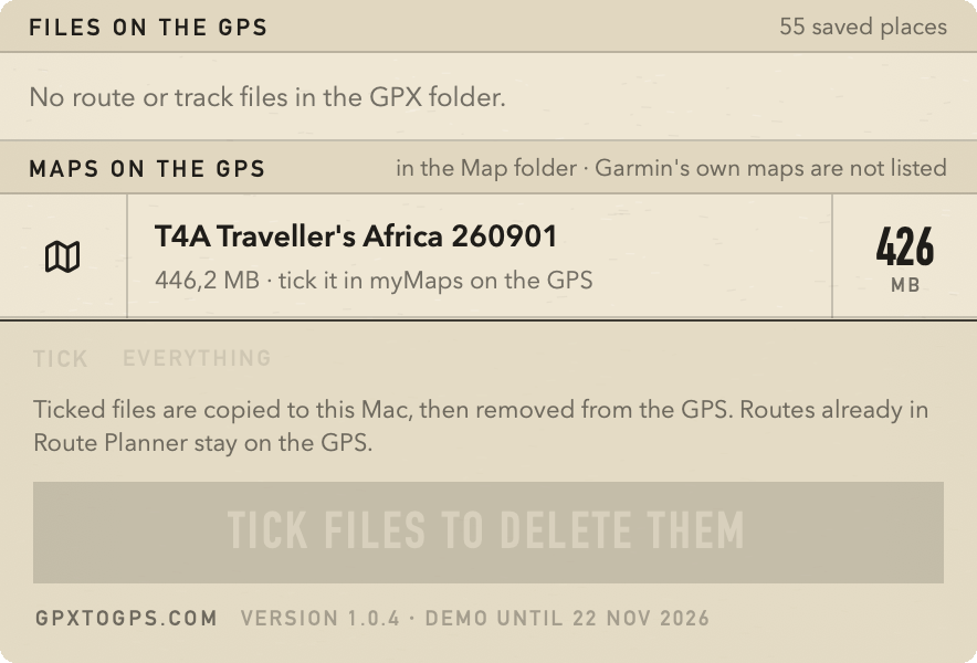
Drop the installer Tracks4Africa gives you — the Mac .gmapi or the Windows download. It lands on the Garmin as the single .img the unit reads — packed the way Garmin's own installer does it, checked first, backed up if it replaces anything. The same goes for OpenTopoMap, Freizeitkarte, OpenFietsMap, any unlocked Garmin vector map.
.gpx→route
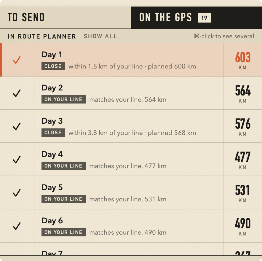
A DriveSmart ignores tracks and only navigates routes, so each track becomes one. Your named stops become announced stops; a quiet shaping point every 30 km keeps the Garmin on your line. Preview, rename, send. Afterwards the app compares the Garmin's version with yours and offers a fix if it strayed.
trip log→.gpx
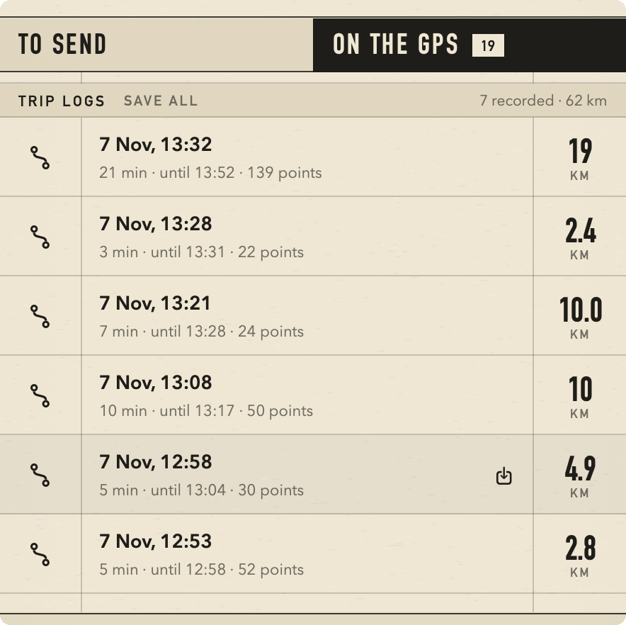
The Garmin records a track whenever it is on. Bring them home as GPX with time, height and speed for every point — one, several, or the lot.
- Tracks4Africa
- Gaia GPS
- Komoot
- Calimoto
- Kurviger
- MyRouteApp
- Wikiloc
- onX
- BaseCamp
- OpenTopoMap
- Freizeitkarte
- OpenFietsMap
Garmin only. Tested on the DriveSmart 66. Wanted: DriveSmart 55–86, Overlander, Tread, zūmo XT, Montana 700, Drive 61.
Mac and Windows apps, both in beta. Free during the beta; pricing to be confirmed.
Be first on your Garmin.
The beta is by invitation. Tell us what you drive with and we send an invite with a download link. In return: an honest account of your first trip — what worked, where the GPS strayed, what confused you.
Is it free?
During the beta, yes. Pricing afterwards is to be confirmed; testers hear first.
Mac or Windows?
Both. The two apps do the same job the same way; tick the one you will test on, or both.
Garmin's own maps?
No. City Navigator and TopoActive are locked to one unit and install with Garmin Express. GPX to GPS is for everything else.
Can it break my GPS?
It checks every map before sending, never edits the Garmin's own files, and backs up anything it replaces.
Why are my routes so long?
A DriveSmart avoids unpaved roads by default. Untick Unpaved Roads and U‑Turns under Settings → Navigation → Avoidances first. The app reminds you.
BaseCamp or Garmin Express?
Not needed. Quit them before plugging in — only one program can hold the GPS at a time.